Chasing Higher Ground: The Lost American Art of Reading Sickness in the Landscape
Every August, wealthy families in antebellum Charleston packed their trunks and headed for the hills. Not for vacation — for survival. They were following what 19th-century Americans called "fever geography," a surprisingly sophisticated folk science that mapped disease onto the landscape itself.
The Miasma Mapmakers
Before anyone knew that mosquitoes carried malaria, American doctors and settlers had developed their own theories about why some places made you sick and others kept you healthy. They called the culprit "miasma" — bad air that supposedly rose from swamps, stagnant water, and low-lying areas.
Dr. Samuel Cartwright, a New Orleans physician, spent decades in the 1840s documenting what he called "elevation medicine." His detailed maps showed that families living above 200 feet rarely contracted what we now know as malaria, while those in river valleys and coastal plains suffered regular "intermittent fevers" every summer.
What's remarkable is how often these pre-scientific observations were actually correct. Without understanding mosquito breeding cycles or disease vectors, Americans had stumbled onto a practical truth: higher ground really was healthier.
Building a Nation on High Ground
This fever-dodging wisdom shaped American settlement patterns in ways we're still living with today. Towns throughout the South and Midwest were deliberately platted on ridges and hilltops, even when river access would have made more economic sense.
Take Natchez, Mississippi. The original settlement clung to bluffs 200 feet above the Mississippi River, connected to the waterfront by a treacherous road locals called "Silver Street." Merchants complained about hauling goods up and down the cliff, but city planners refused to relocate. They'd seen too many river-level communities decimated by summer fevers.
Similar logic shaped the development of Cincinnati, Pittsburgh, and dozens of other river cities. The wealthy built on the hills, the working class settled in the valleys, and everyone understood this as a matter of medical necessity, not just social status.
The Architecture of Avoiding Air
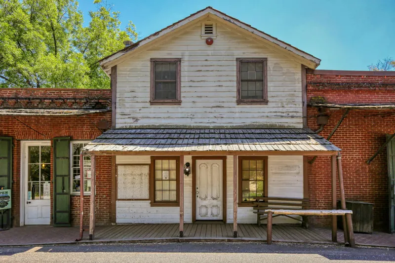
Fever geography influenced more than just city planning — it rewrote the rules of domestic architecture. Southern plantation houses weren't just designed to look impressive; they were engineered as elaborate disease-avoidance machines.
The classic raised foundation wasn't about flood protection — it was about lifting the family above "ground miasma." Those famous wraparound porches served as outdoor sleeping areas during fever season, positioned to catch prevailing winds that supposedly blew bad air away from the house.
Even kitchen placement followed miasmatic logic. Summer kitchens were built downhill and downwind from the main house, not just to keep cooking heat away, but because everyone "knew" that food preparation attracted unhealthy vapors.
The Great August Migration
By the 1850s, seasonal elevation migration had become routine medical advice throughout fever-prone regions. Doctors published detailed guides recommending specific altitudes for different conditions. Families with means maintained summer homes in places like the Virginia mountains or the hills outside New Orleans.
The Greenbrier Resort in West Virginia built its reputation as a health destination by marketing its 2,000-foot elevation as a fever preventative. Railroad companies promoted "health routes" to mountain destinations, advertising clean air and elevated living as medical necessities.
This wasn't just wealthy hypochondria — it was a systematic response to very real seasonal mortality patterns. Parish records from Louisiana show death rates dropping dramatically among families who could afford to "summer in the hills."
When Folk Science Met Real Science
The irony is that fever geography often worked, just not for the reasons people thought. Higher elevations really did reduce malaria transmission — not because of miasma, but because mosquitoes prefer warm, humid, low-lying areas for breeding.
Those carefully positioned summer kitchens actually did reduce disease transmission by separating food preparation from sleeping areas. Raised foundations limited contact with ground-dwelling disease vectors. Strategic window placement improved ventilation, which genuinely helped prevent respiratory infections.
When germ theory finally arrived in the 1880s, it didn't completely overturn fever geography — it explained why so much of it had been accidentally correct.
Echoes in Modern America
Drive through older American cities today, and you're still seeing the landscape through 19th-century fever maps. The most expensive neighborhoods tend to occupy the highest ground, following settlement patterns established when elevation meant survival, not just status.
Some communities took fever geography so seriously that it became part of their identity. Places like Highlands, North Carolina, and Hot Springs, Arkansas, built their entire economic foundation on being "healthy elevations." These towns still market their altitude as a selling point, though now it's about "clean mountain air" rather than miasma avoidance.
The Lost Logic of Place
What we've lost isn't the specific beliefs about bad air and ground vapors — it's the intense attention to how geography shapes health. Nineteenth-century Americans read the landscape like a medical textbook, noting how wind patterns, water sources, and elevation affected human wellbeing.
Modern public health focuses on behavior and genetics, but we've largely stopped thinking about place as medicine. Maybe those fever-dodging ancestors were onto something after all — not about miasma, but about the forgotten art of reading wellness into the very ground beneath our feet.