Streets That Never Were: The American Neighborhoods Erased Not by Disaster, But by Design
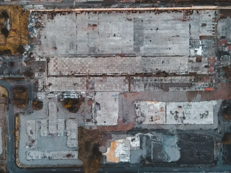
There's a particular kind of unsettling feeling that comes from standing at a dead-end street that clearly wasn't designed to be one. The sidewalk just stops. The curb cuts don't line up. A fire hydrant stands in what is now the middle of a parking lot. Something was here. The city's official records say otherwise.
Across the United States, there are neighborhoods that exist in living memory but not in any government database. Communities that were legally inhabited, taxed, and mapped — until suddenly they weren't. Not because of a hurricane, not because of a flood, but because someone with a pen and a planning document decided they shouldn't exist anymore.
The Bureaucratic Erasure Nobody Talks About
Most people are familiar with the concept of sunken towns — communities flooded by reservoir projects, or ghost towns abandoned when the mines closed. Those stories have a certain romantic melancholy to them. The erasures that are harder to reckon with are the deliberate ones: neighborhoods removed through urban renewal programs, highway construction, and what planners in the mid-twentieth century called "slum clearance" — a term that almost always meant something specific about who lived there.
Between roughly 1949 and 1973, the federal urban renewal program displaced an estimated one million Americans. A significant portion of those displaced were Black urban residents whose neighborhoods were systematically targeted for demolition under the logic that dense, older housing stock constituted blight. The buildings came down. The streets were sometimes vacated — a legal process by which a municipality formally extinguishes a public road, removing it from official maps and transferring the land to adjacent property owners or to the city itself.
When a street is vacated, it doesn't just stop being maintained. It stops, legally speaking, having ever been a public street. The address histories attached to it become administrative orphans. In many cities, the records of who lived there, what businesses operated there, and what community gathered there were scattered across deed books, tax rolls, and church registers — none of which talk to each other.
The Highway That Ate the Block
The construction of the Interstate Highway System beginning in the late 1950s created a second wave of neighborhood erasure that operated with remarkable efficiency. Planners routing highways through urban areas frequently chose paths through lower-income neighborhoods — partly for cost reasons, partly because those communities had less political power to resist.
In cities from Memphis to Miami, from Syracuse to San Francisco, entire blocks of established residential neighborhoods were cleared to make way for elevated highways and interchange ramps. The people who lived there were given relocation assistance that was often inadequate and sometimes fraudulent. The streets beneath and around those highways were frequently vacated, renumbered, or simply absorbed into the highway right-of-way.
What makes these erasures particularly strange is their administrative thoroughness. A neighborhood that existed in the 1940 census, with hundreds of residents, named streets, and operating businesses, could be essentially invisible in the 1960 census and entirely absent from any official city map by 1970. Not because the people hadn't existed — but because the paperwork that proved they had was distributed across agencies that no one was coordinating.
Reading the Landscape for What It's Hiding
Urban archaeologists — a loose designation that covers historians, planners, and obsessive amateurs — have developed a kind of field practice for detecting these erasures. The clues are often physical.
Street grids that don't add up are one indicator. In most American cities, streets were laid out in logical patterns — grids, radials, or some combination. When you find a block where the grid suddenly skips, where a street number sequence jumps from 400 to 600 with no explanation, something was removed from the middle. Old utility infrastructure is another tell: gas mains, water lines, and sewer connections don't always get removed when a street is vacated. They just get buried. Ground-penetrating radar surveys in several cities have revealed ghost infrastructure running under what are now parking lots and highway shoulders.
Perhaps the most poignant evidence is oral. In neighborhoods adjacent to erased communities, elderly residents often carry detailed mental maps of streets that no longer appear on any official document. They remember specific addresses, specific neighbors, specific corner stores. That knowledge exists nowhere in any archive. It lives only in aging memories.
The Reckoning That's Slowly Beginning
In recent years, several American cities have started the difficult work of formally acknowledging these erasures. Some municipalities have created programs to restore historical addresses to demolished neighborhoods, at least symbolically. Others have commissioned oral history projects to document what official records omitted.
The 2021 infrastructure law included provisions for studying highway removal — the possibility of taking down urban expressways that bisected communities and potentially restoring the street grids beneath them. A handful of cities, including Rochester, New York and Syracuse, have begun serious planning processes around exactly this kind of restoration.
But restoration of the physical landscape doesn't automatically restore the historical record. The streets that were vacated are still, legally, streets that no longer exist. The addresses are still orphaned. The census entries are still scattered.
The Map Was Always a Argument
What these erased neighborhoods reveal, more than anything, is that official maps were never neutral documents. Every map is a claim about what matters and what doesn't, about whose presence deserves to be recorded and whose can be safely omitted.
The phantom suburbs of American cities aren't accidents of poor recordkeeping. They're the physical residue of deliberate decisions — decisions that the official record was, in many cases, specifically designed not to preserve.
The streets are still there, under the concrete. Some of the people who lived on them are still there too, in the surrounding neighborhoods, with addresses in their heads that no city map will confirm.